Precision Exploration
Get the clarity you need for your next mining project. From grassroots surveys to advanced resource assessment, we combine innovative UAV and Atomic Mineral Resonance Tomography (AMRT) technology with expert analysis, delivering accurate, reliable data that drives smarter decisions and safer project execution.
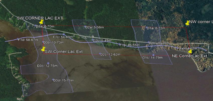
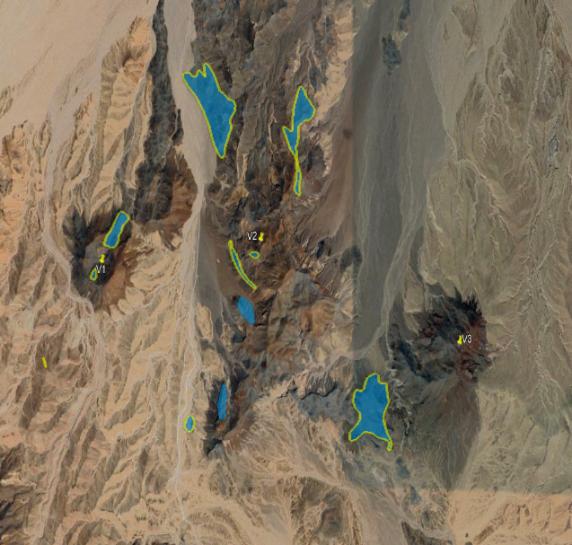
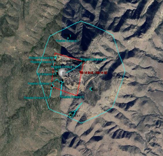
Precision mapping and site assessments using UAVs, ARMT, and geospatial tech to identify potential targets early, enabling rapid, reliable high-resolution data collection and risk assessment.
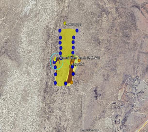
Geological mapping, sampling, and geochemical analysis are conducted to refine and expand target zones, uncovering mineral potential efficiently and cost-effectively.
Detailed drilling, geophysical surveys, and resource evaluation further improve target definition, quantify resources, and assess economic viability with innovative technology and expert analysis.
Custom exploration plans, field operations oversight, and progress reporting to keep projects on schedule, within budget, and aligned with goals, maximising resource potential.
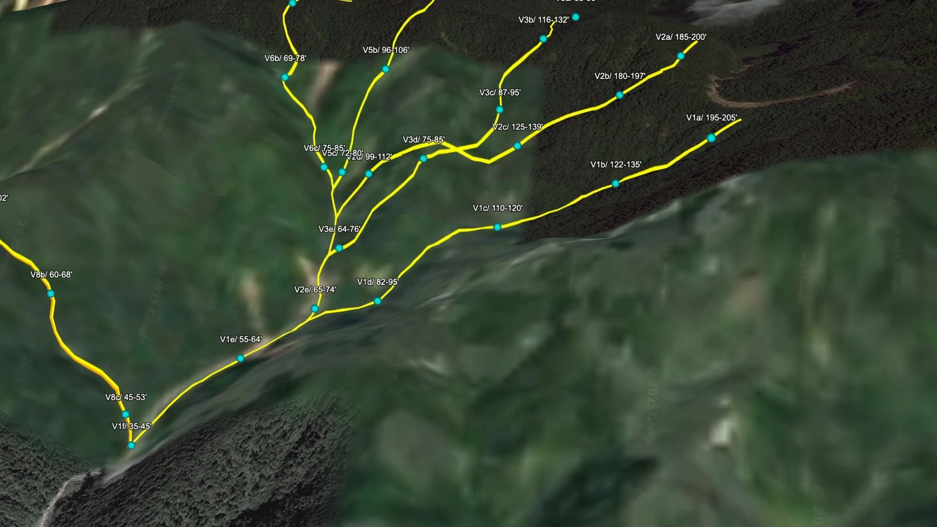
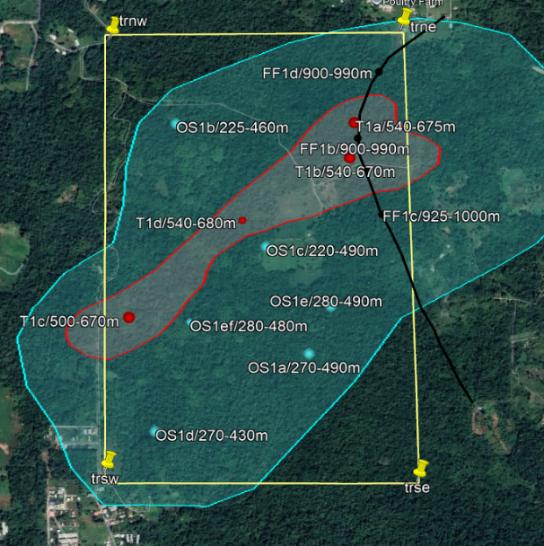
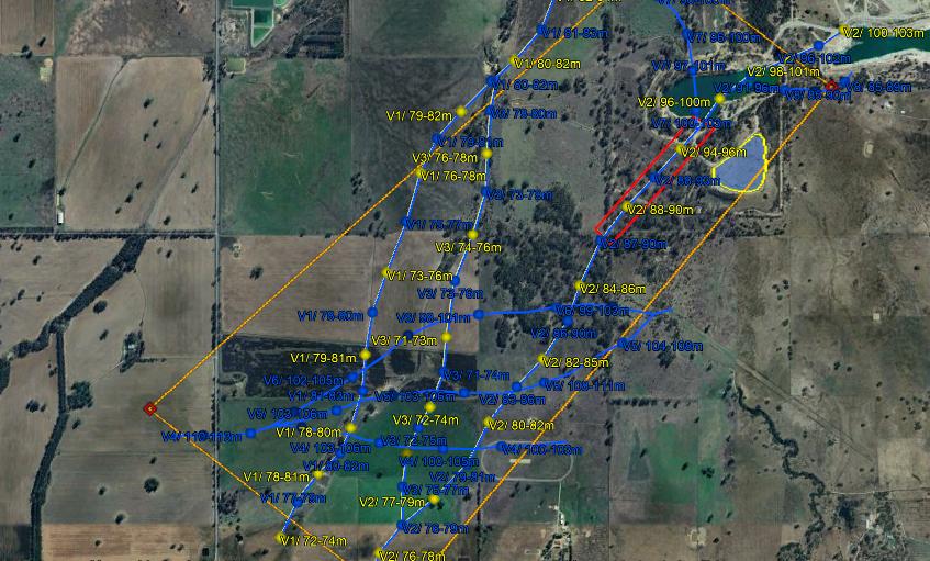
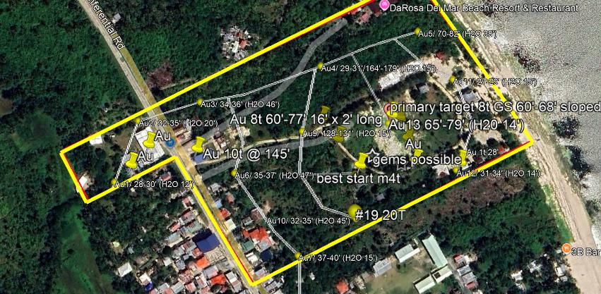
AMRT combines nuclear and electromagnetic resonance with satellite sensing and AI to detect atomic-level mineral signatures without disturbing the terrain, using unique resonance-frequency detection akin to NASA’s mineral surveys on other planets.
AMRT uses advanced algorithms and refined sensing to pinpoint atomic-level resonances at depths up to 18,000 ft for hydrocarbons and 5,000 ft for other resources, delivering up to 93% proven accuracy.
Nearly half a million square miles surveyed worldwide with NMR/AMRT, uncovering millions of ounces of precious metals and billions of barrels of oil, a proven, cost-effective, reliable exploration technology of choice.